FT 1: Pipers Creek
Field Trip 1: Pipers Creek
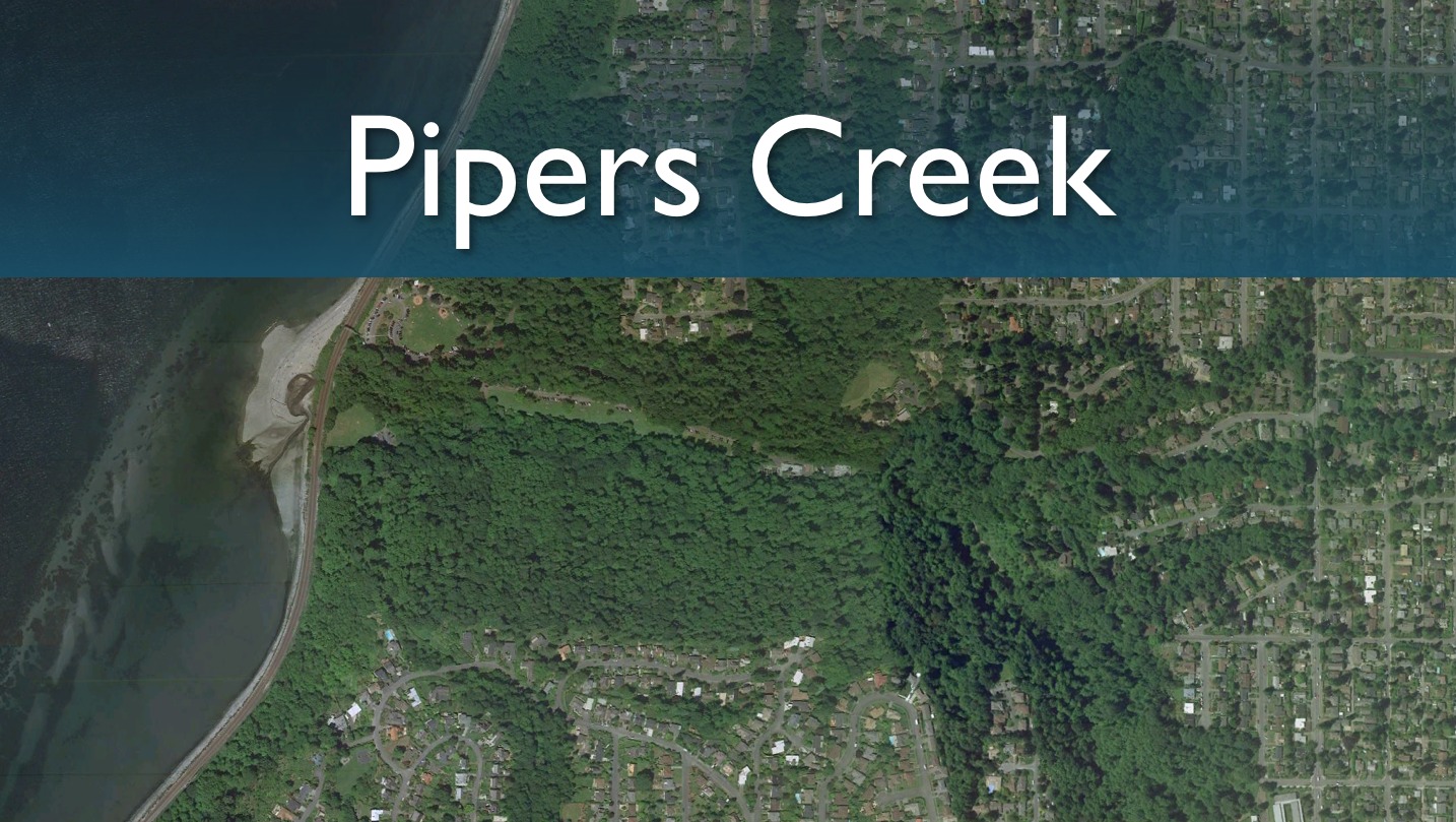
On Tuesday, October 12, we will meet workers from EarthCorp (formerly SUN), a community group, at Piper's Creek in northwest Seattle to see how vegetation surveys are performed. The purpose is to see one example of how the kinds of data used in GIS maps (such as those we looked at last week in the Google Earth lab) and models (such as DHSVM, which we study later in the quarter) are gathered. This experience should give you a better picture of the kinds of compromises that are made to compose maps and build environmental simulation models.
In addition we will be meeting with representatives of the Seattle Parks and Recreation and Carkeek Environmental Learning Center. We will be arriving at NE 110th and Palantine (upland of Piper’s Creek) to discuss stormwater & land use in the urban environment, legal issues, impacts on water quality- streams in an urban space and restoration activities.
We will finish the field trip by meeting Seattle Parks and Recreation Naturalist Brian Gay who will talk about Salmon life history, visual learning, the community - role in landscape management, the Carkeek Salmon Steward Program, beach structure, and the urban impacts on water quality.
Dr. Miles Logsdon's Ocean 452 class uses Big Beef Creek, which flows into Hood Canal, as a site for students to make their own surveys of vegetation and other properties. They then use GIS software to construct maps like those we have studied using Google Earth. We will look at a very simplified version of this procedure.
The following links will help you with the assignment:
SUN (Earthcorps) survey result maps
Additional links on vegetation remote sensing: