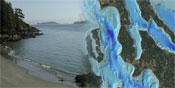
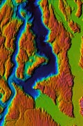
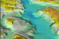
Puget Sound Bathymetry
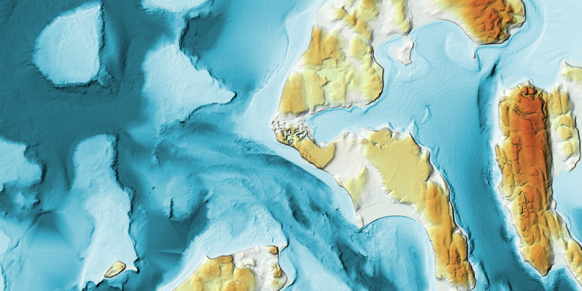
Mapping the Seafloor of Puget Sound
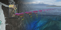
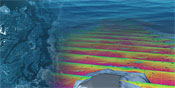
Measuring the elevation (or bathymetry) of the seafloor in Puget Sound reviels a terrain that remains hidden from us until we apply a combination of both old and new technolgies to that task. Before modern shipboard sonar equipment, seafloor elevation was measured by lowering a rope with a lead weight attached over the side of the ship and recording the length of line as a direct measurment of depth. Today multibeam sonar (sound navigation and ranging) sensors utilize acoustic energy to collect these measurements. These sensors pulse the bottom with a series of soundings as the vessel tracks along a designed survey route. An array of receivers record the reflected echoes. The speed that these "soundings" travel in water is known by the researcher, so the time between the start of the pulse and recieving the echo is a measurement of depth.
Applications
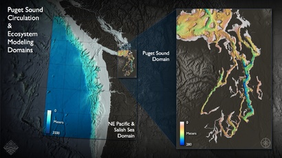
An accurate and high-resolution picture of Puget Sound's seafloor not only helps scientists understand the forces that shape the bottom, but is essential to elucidating many oceanographic processes as well. For example, a key variable in building the circulation model of Puget Sound is the water depth, as tidal currents have different properties in waters of different depth. The shape of the Puget Sound basin also influences the residence time of different regions, and may be a factor in why places like Hood Canal have hypoxia problems.