Lab 1: Google Earth Pro and the Puget Sound Watershed
Lab 1: Google Earth Pro and the Puget Sound Watershed
During the course of the quarter the instructors hope to familiarize you to several different visualization systems for observing geographic information. In Lab 1, Google Earth Pro will be utilized to introduce students to some of the basic geography of Puget Sound, as well as some of the different types of data that can be presented by means of the Google Earth platform. We will also introduce some of devices and techniques that are used to acquire the data that is used to create the layers we will be observing.
Google Earth Pro is computer software system that allows the display and manipulation of Geographic Information Systems (GIS) data using a web browser. Many of you may already be familiar with the free version of Google Earth. The Pro version will give us several important capabilities over the free software, including the ability to import and create GIS data layers (in kml or kmz file format), print higher resolution images, and make movies. In this instance we would like to introduce a system that you will likely be dealing with in your future, as a student, professional or in your personnel life.
For your information and use, the link to Google Earth’s help/user guide is here . Additional basic information on Google Earth can be found here.
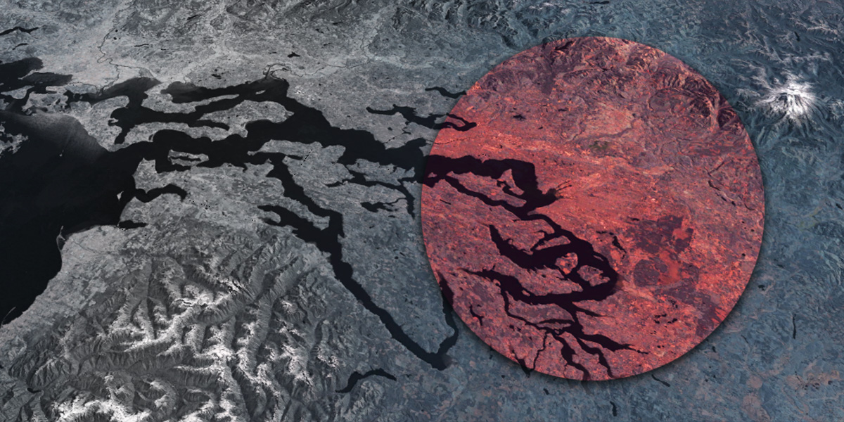
Many “layers” of geographic information have been prepared in advance for our labs. We will use Google Earth Pro to mix-and-match various views of the Puget Sound Ecosystem and to study its properties. We will look at the major river basins, land ownership, land-cover and land-use, population density, watersheds and political boundaries and terrain mapping features.
Here are several links that include background information that will be helpful in completing this lab: