Earth System Models
A digital representation of the physical world
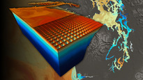
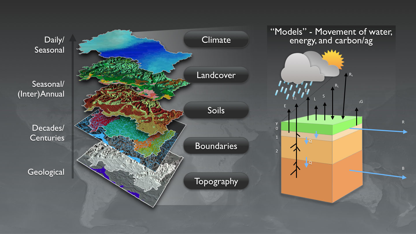
A computer model is the expression of the understanding of a system, expressed as mathematical equations, solved on a computer. In the environmental sciences, such models can address how the climate functions, how water moves across the landscape, how that landscape is changing, how ocean circulation works, and so forth. A modern earth systems model is actually a model of multiple layers of information, from topography to climate to waves. PRISM uses the development and application of such models as a core element in its program.
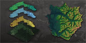
Spatial Models of the “Physical Template”
Puget Sound and the associated inland marine waters of northwest Washington State are a large estuary complex, carved by glaciers, receiving runoff from the encircling Cascade and Olympic mountains. Puget Sound is surrounded by approximately 2,500 miles of shoreline; a mosaic of beaches, bluffs, bays, estuaries, mudflats and wetlands. The waters of Puget Sound reflect a mixing of salt water from the ocean with fresh water that falls as precipitation or drains from the surrounding land. More than 10,000 streams and rivers drain into Puget Sound. To describe this template, information from paper maps, satellites, surveys etc are combined via Geographic Information Systems (GIS), to develop spatial models of the landscape and seascape, upon which the more dynamic flow models operate.
The conceptual framework that underlies the collaborative nature of all PRISM products is that they all occur upon this physical template. While often thought of as a stable unchanging landscape, PRISM recognizes the physical template as a geometry in constant change. This fluctuating template forms the geometry of Puget Sound upon which all our biophysical processes are mapped.
Landsurface Dynamics and Hydrology
The Puget Sound region is recognized as a dynamic landscape. Bounded by sub-alpine meadows of the Cascade and Olympic mountain ranges, the Puget Sound ecosystem transitions through numerous terrestrial and aquatic ecoregions. Changes in these regions occur on a variety of spatial and temporal scales; from precipitation and land surface runoff to biogeochemical cycles, which relate to the productivity of our landscape and habitat selection by various species.
Modeling of land surface dynamics requires an integration of ecological process models with numerous observational data. PRISM initializes the science of land surface dynamics following the pathways of the hydrological cycle. The interaction among processes such as; evapotranspiration, soil moisture, surface runoff, bioaccumulation, and instream flow forms is captured in the Distributed Hydrology Soils and Vegetation Model (DHSVM) . Learn More.
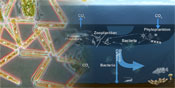
Marine Dynamics
The circulation and mixing of water in the Sound fundamentally controls its biogeochemical processes, from planktonic primary production to the transport of toxics. The Sound's size, intense tidal currents, and extraordinary rough glacially-carved bathymetry present real challenges to even our state-of-the-art numerical modeling capabilities.
The current phase of PRISM circulation modeling, being led by Dr. Parker MacCready and Dr. David Sutherland (UW Oceanography) is using intensive parallel computation to significantly increase both the resolution and the domain size covered by the model. Current efforts are underway to optimize the model set-up, validate the model against the available observations, and begin to answer scientific questions about how the Sound works, from daily to decadal timescales. Learn more.
Atmospheric Dynamics
Modeling atmospheric circulation and region scale meteorology. The Fifth-Generation NCAR / Penn State Mesoscale Model (MM5) has been a mainstay in a series of limited-area, hydrostatic or nonhydrostatic , terrain-following sigma-coordinate models designed to simulate or predict mesoscale and regional-scale atmospheric circulation. The Department of Atmospheric Sciences at the University of Washington ran MM5 twice a day in order to produce high resolution meteorological forecasts for the Pacific Northwest. Within the PRISM framework, surface output of MM5 was used to provide input for both the land surface hydrology model(DHSVM) and the marine circulation models (POM and ROMS). They are now transitioning to a new-generation model, Weather Research and Forecasting (WRF) model.