Distributed Hydrology Soils and Vegitation Model (DHSVM)
Distributed hydrological modeling for land surface dynamics
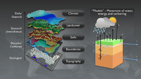
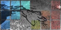
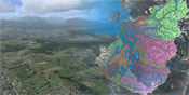
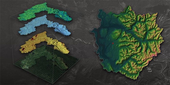
DHSVM is a distributed hydrologic model that explicitly represents the effects of topography and vegetation on water fluxes through the landscape. It is typically applied at high spatial resolutions on the order of 100 m for watersheds up to 100,000 km2 and at sub-daily timescales for multi-year simulations. It has been applied predominantly to mountainous watersheds in the Pacific Northwest in the United States.
DHSVM is a research model and is continuously under development. PRISM is an active partner in advancing the application of the DHSVM code to each of the Puget Sound watersheds and linkages with the MM5 atmospheric circulation model for simulation through the region's hydrometeorological models. Since PRISM's inception, this has been achieved through graduate student and staff support.
See Also:
The Land Surface Hydrology Research Group : DHSVM
HCDOP: DHSVM model calibration