Circulation model set-up
Building a virtual Puget Sound
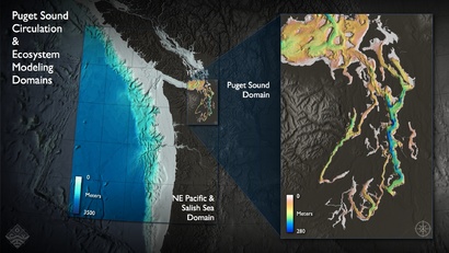
The circulation model is based on the Regional Ocean Modeling System (ROMS v3) driven by realistic atmospheric, river, and tidal forcing to simulate the circulation in the Salish Sea (43.6°N-50.5°N, 122°W-129°W). ROMS is a free-surface, primitive equation, hydrostatic ocean model that is widely used and tested in the coastal community [e.g., MacCready et al., 2009; Liu et al., 2009]. We are focusing on 2005-2006 currently, and will move to realistic hindcasting from 1998-2008 in the near future.
Grid
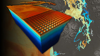
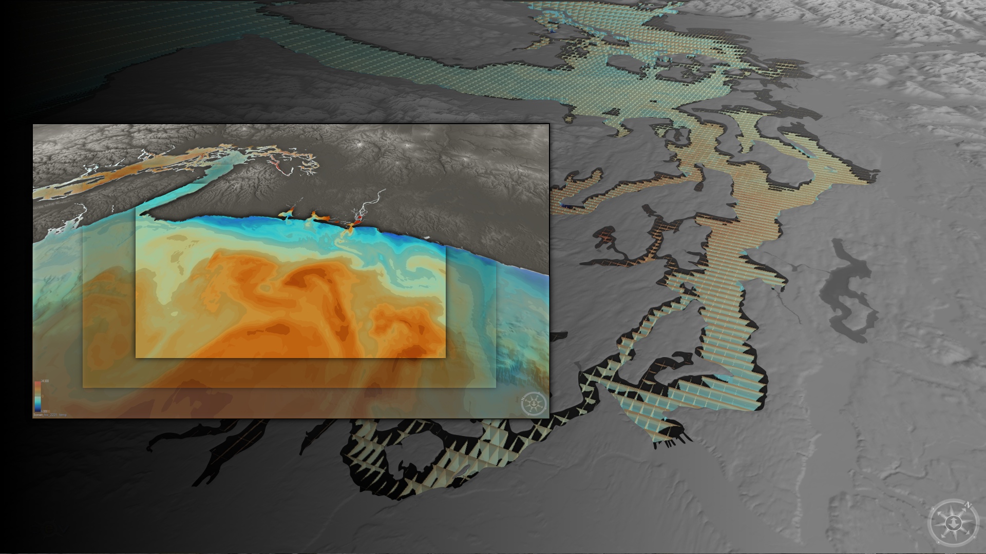
The model discretizes the equations of motion and solves them on a rectangular grid. The PRISM model has 777 by 530 horizontal grid points, 20 vertical levels, and a resolution of ~300 m in Puget Sound to ~3 km in the coastal ocean (see plot below). We set the minimum depth to 4 m to avoid wetting and drying issues, and have an r-factor of ~0.4.
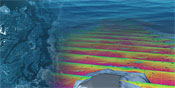
 ROMS grid resolution in meters.
Forcing
The model is forced at the surface with bulk fluxes calculated from atmospheric fields obtained from a regional forecast model (UW's MM5 model, both the 4 km and 12 km).For the current model run, we are subsampling the MM5 output to six-hourly time steps.
Rivers are implemented in the model as point sources of momentum (through time series of discharge) and temperature and salinity (through temperature gauges and assuming rivers have a salinity of zero). Daily time series of USGS gauge observations are used for the 16 rivers included in the model. In the future, we aim to couple a hydrological model directly to the ocean circulation model to fully capture the impact of freshwaters entering Puget Sound.
Tidal forcing is provided at the boundaries as amplitude and phase information for eight consituents, which are obtained from a global tide model (TPXO7.1 global tide model).
Boundary Conditions
We use a combination of nudging and radiation conditions at the model's southern and western open boundaries. Nudging keeps the boundary regions, where we have no information outside of, close to validated global model predictions, taken from the Navy Coastal Ocean Model (NCOM). Radiation conditions ensure that water approaching the boundary from within our domain actually leaves our domain, and does not reflect back, as a wall condition would do. These boundaries are far from Puget Sound, however, so any effects from the boundary conditions will be minimal on the circulation within the sound.