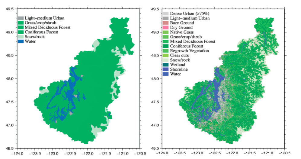
Fig 1 - 1883 and 2002 land cover maps
Author: cev
File Type: Image
File Size: 106 kb
Date: 2011-08-14
 Click to view/download larger size
Related Stories
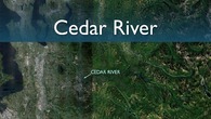
FT 2: Cedar River
Author: cev
File Type: Image
File Size: 106 kb
Date: 2011-08-14
Click to view/download larger size