Home | Mission | Search | News
Site Navigation
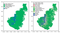
Fig 1 - 1883 and 2002 land cover maps
Plankton tow
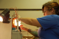
O2 titration
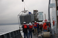
CTD cast
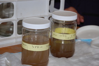
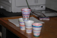
Cups to shrink
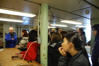
Introductions
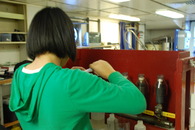
Chl filtration
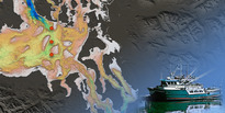
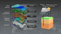
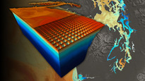
PS Physical Model Image 2
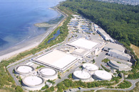
West Point
Pipers Creek
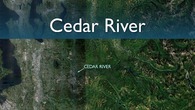
Cedar River
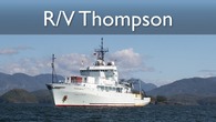
Thompson Research Vessel Image
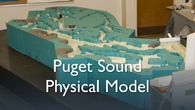
PS Physical Model Image
Image for JEMS 2
DIF Image
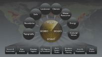
Earth System Models Image
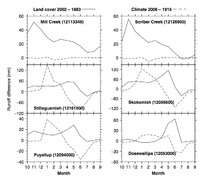
Fig 2 - Comparison of historical climate change and land cover change effects on seasonal runoff
PRISM Main Image
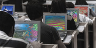
Classroom
ROMS MOSSEA Model
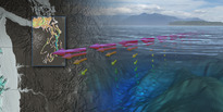
Observing the Sound
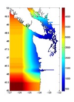
ROMS grid
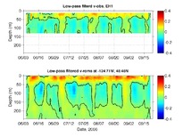
EH1 ADCP comparison