Water - a Century of Change
Effects of a century of land cover and climate change on the hydrology of the Puget Sound basin
PRISM, in partnership with the UW Climate Impacts Group (CIG) is conducting a series of studies investigating the interplay of changing landscapes and climate on the distribution of water (the "hydrology") across the Puget Sound. This work is based on the application of DHSVM (Distributed Hydrology Soil Vegetation Model), a so-called geospatially-explicit, process based model. This work follows on from the initial "Hydromet" work that was the first-generation climate/DHSVM application of PRISM. DHSVM was developed originally for application to forested mountain watersheds. In this second study of the series, DHSVM was used to evaluate the potential consequences of landuse and climate change over the last century (Cuo et al 2008).
Anglo settlement of the Pacific Northwest, which dates to the mid-1800s, was fairly recent by comparison with much of the North American continent. Since that time, the land cover of the region, which once was mostly coniferous forest, has changed dramatically as the population has grown. In the first 100 years or so of the post-settlement era, the major land use conversion was associated with forest harvest, and some areas have undergone several cycles of forest harvest and regrowth. Especially over the last half century, expansion of the major metropolitan areas, such as the Everett-Seattle-Tacoma corridor of western Washington, has resulted in conversion of substantial portions of the landscape from forest to urban and suburban uses. Concerns have been raised about the effects of ongoing land use change on various aspects of the hydrologic cycle, including summer low flows, groundwater recharge, and flooding.
The intent of this study was to use DHSVM to provide a comprehensive evaluation of the concurrent effects of land cover and climate change on the hydrology of the Puget Sound basin in the post-settlement era. With respect to climate, we focused on the period 1915 to 2002 during which the quality of climatological data is sufficient to infer hydrologic changes, and with respect to land cover, the study period goes back to 1883, the earliest time for which we could obtain credible land cover data.
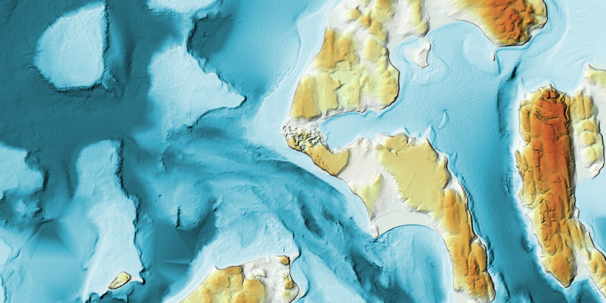
Model input data inclu de both temporally varying and fixed data. The temporally varying data are essentially all surface climatological data used to force the model, and include precipitation and temperature (at daily or shorter time steps), downward solar and longwave radiation, surface humidity, and wind speed. Temporally fixed data include digital topography, soil class and depth, vegetation class, and stream network characteristics. The DEM was derived from USGS data (US Department of Interior/US Geological Survey, with a spatial resolution of 150 m. This DEM was the basis for determination of the boundaries of the 13 upland, and 2 lowland basins. The Puget Sound soil class map was taken from the U.S. general soil map (STATSGO) generated by the Natural Resources Conservation Service of the U.S. Department of Agriculture. Two land cover maps were used: 2002 land cover (Alberti, et al. 2004) and reconstructed 1883 land cover (Fig.1).