Modeling Plankton Ecology
From nutrient inputs to ecosystems
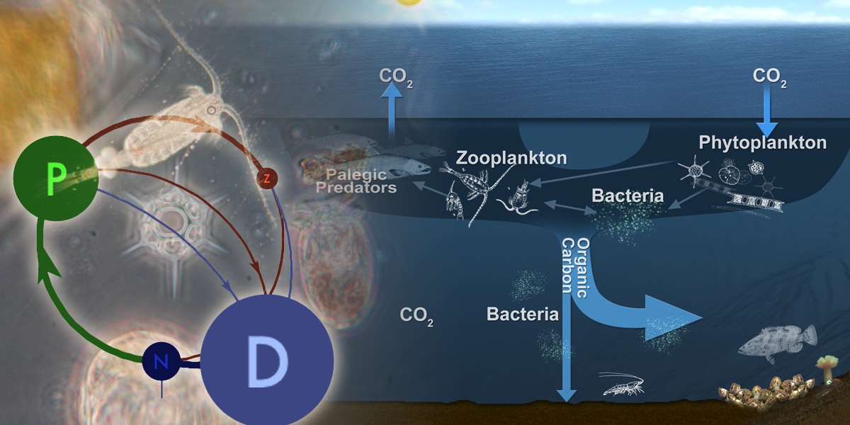
Linking Puget Sound circulation and watershed and oceanic inputs to the food chain requires biogeochemical models that trace nutrient cycles and describe the growth of phytoplankton and zooplankton. These models, known generically as "NPZ" (nutrient-phytoplankton-zooplankton) model, let us address questions such as
· "How will climate-driven changes in ocean inputs affect the availability of food for Puget Sound salmon over the next fifty years?"
· "How sensitive is the biological depletion of oxygen in Hood Canal to the supply of nutrients from the watershed?"
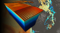
An NPZ-style model can be linked to a high-resolution
circulation model to produce detailed, spatially explicit hindcasts and
forecasts, or run in a simpler, idealized physical scenario to make rapid
exploration and scenario testing possible.
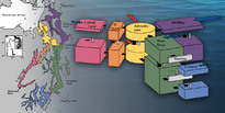
The Aquatic Biogeochemical Cycling Model (ABC) was developed
over the last decade as a general tool for simulating basic nutrient and plankton
dynamics in Puget Sound and other Pacific Northwest aquatic ecosystems. Model development
was initially funded through PRISM. Additional funding has derived from a
partnership among the University
of Washington, Washington Department of Ecology, and King
County Department of Natural Resources and Parks (KC-DNRP) researchers. This presentation contains more
information.
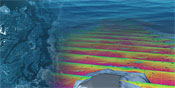
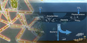
A new biogeochemical model for Puget Sound is currently under development by Neil Banas at the UW Applied Physics Laboratory, building on results from both ABC and recent work on the Washington-Oregon coast which provided new methods for choosing difficult but important model parameters (like the community mortality rate for zooplankton) from local biological observations. This model includes fluxes between nutrient, phytoplankton, zooplankton, and detritus pools, as well as production and consumption of dissolved oxygen. An interactive version of the model's nitrogen budget can be found in this online visualization, under "NPZD, Banas et al. 09." This conference poster demonstrates an application of the model to Lynch Cove, the southern tip of Hood Canal; it is also in the process of being added to the high-resolution MoSSea circulation model.