Dynamic Information Framework
How information is organized, displayed, and distributed
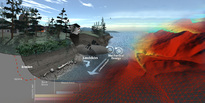
The DIF can be thought of as the common environment for the overall information sources describing the Basin, organized in a highly systematic fashion, to facilitate analyses and to “visualize” outcomes. By being organized according to landscape and hydrologic principles, information can serve multiple purposes and specific targets for information can be identified and prioritized. The intersection of biophysical processes and environmental stressors can be seen in a geospatially-explicit fashion. Careful attention must be paid to how the mechanics of how information is organized, displayed, and distributed.
Establishing such a process is not a trivial task, for several reasons.
- The information required comes from multiple sources, from individual rain gauges to statistics on rice yield [for Puget Sound?] and fisheries. It also comes from multiple disciplines, which presents problems for communication even between specialists. Existing data holdings are not always readily obtainable, sometimes for institutional reasons. New field measurements, especially if they are holistic and cross boundaries, are challenging.
- Handling such diverse data and executing the models that depend on them is not straightforward. There are very real challenges in converting data streams into useful information.
- Perhaps most challenging is how not only to create such information, but to get it into the hands of users at different levels of expertise, from specialists to local and regional decision makers to local farmers or fishermen.
To meet these challenges, PRISM has worked towards establishing a “Dynamic Information Framework (DIF),” to manage the overall information required.
- “Dynamic” refers to the fact that the landscape is evolving – that we must look not only at the present, but also at the past and especially the future. Nor is information static.
- “Information” means that more than just data need to be considered – e.g., which products must be developed from data?
- “Framework” means that an overall set of information must be logically arranged and communicated, within a flexible environment. The structure for readily interacting with the DIF must be clear.
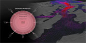
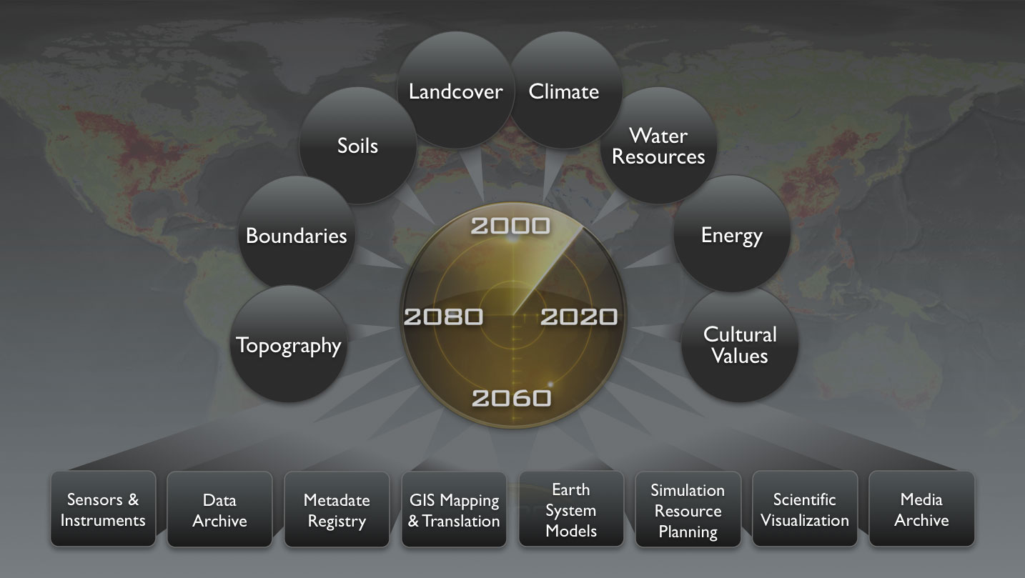
The computational and data organizational issues represented in executing the DIF require explicit attention. This schematic expresses the sequence of issues to be resolved, from the details of metadata and data storage, to facilitated access. It is useful to think in terms of mobilizing the data from archives (and its attendant issues) to “data streams,” which focus on specific outcomes, as represented by the modules. The actual operation of transferring data from archives to an accessible, quantifiable data layer can be expedited by including data services, for processing the data into usable forms. Given the complexity of outcomes, experience has shown the central importance of providing visually compelling data products for effective communication not only with decision and policy makers, but also with the public at large.
To enable a functional DIF, specific components need to include:
- Base data layers;
- Directed data layers, focused on synthetic objectives;
- Geospatially-explicit, process-based, cross-sector simulation models (requiring data from the directed data layers). A modular structure allows ready swapping of models (while focusing on getting work done);
- Facilitated input/output (including visualizations);
- Decision support system and scenario testing capabilities.
Essentially, a DIF is a numeric and quantitative “Commons,” which builds on the legacy of knowledge from experience, with the goal of “harmonizing” watershed function for multiple users. The goal is to provide an instrument for a (quantitative) analysis of complex interdependent problems. The process of creating the model provides an integration of data from multiple sources (of interest to many). The framework provides a means for interpolating sparse data, provides the basis for cross-scale/upscaling analyses, and provides the foundation for “scenarios.” The framework should be cross-scale, allowing accurate representation of large regions and far-field effects, while being able to “zoom in” to a specific site or project. While flexibility is highly desirable, hence the term “framework,” emphasis must be on Eachieving a stated goal.