Home | Mission | Search | News
Site Navigation
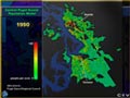
Population 1990
Central Puget Sound Population 1990
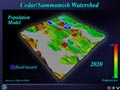
Population/DEM 2020 w/ Flooding Hazard
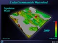
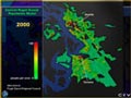
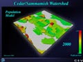
Population/DEM 2000
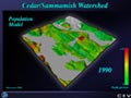
Population/DEM 1990
Soils
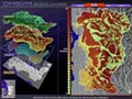
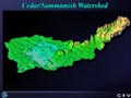
Cedar/Sammamish Population Title
Central Puget Sound Population 2000
Central Puget Sound Population Title Screen
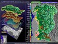
Cedar/Sammamish DEM
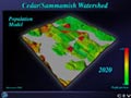
Population/DEM 2020
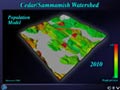
Population/DEM 2010
Population 2000
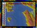
Central Puget Sound Depth Countours 240
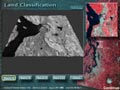
Landcover
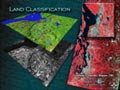
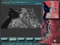
Land Classification Title Screen
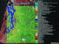
Map Report
Band 3
Elliott Bay Fecal image 1
Models
Central Puget Sound Depth Countours 0
Band 4
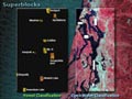
Superblocks
Models and Databases