Home | Mission | Search | News
Site Navigation
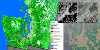
2002 Land Cover Analysis
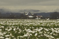
Snow Geese Skagit Valley
Education
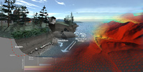
Visualization and Illustration
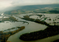
Skagit River During 1995 Flood
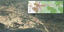
Landcover Landuse
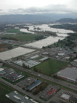
Flooding Above Mt Vernon COE
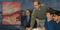
Education Technology-VPS
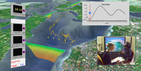
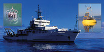
Observations - RV Thompson, ORCA Buoy, Rosette
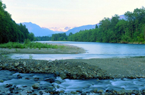
Skagit River Looking East at El Dorado
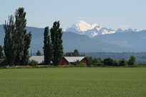
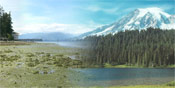
Skagit Farmland Mt Baker Background
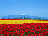
Skagit Tulip Field in Bloom
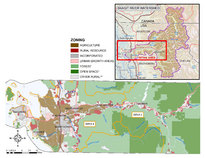
Skagit Grant Map
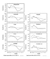
Fig 5 - Future climate and Landcover Effects
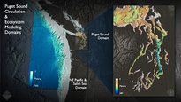
ROMS Domain
Skagit Alternate Futures
test image 1
PRISM Class 260-The Puget Sound Ecosystem
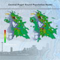
Central Puget Sound Population Model: Comparison 1990 to 2020
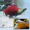
Salmon and Fry
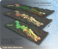
Cedar Watershed-DHSVM Input Layers
Climate and Weather - MM5 Wind Surface Fields
Possession Bar Currents
Biotic Resources - Salmon Recovery