Home | Mission | Search | News
Site Navigation
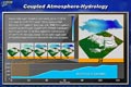
Coupled Atmosphere-Hydrology
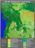
Pacific Northwest Land Cover
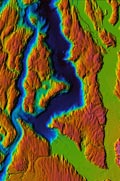
Chromadepth View of S. Sound Bathymetry
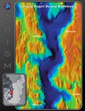
ChromaDepth view of the Puget Sound basin
aerial_misc
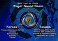
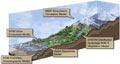
Puget Sound Basin Forces and Issues
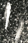
Fish
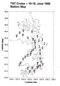
TGT Cruise Station Map
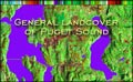
General Landcover of Puget Sound
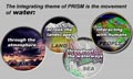
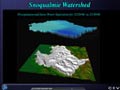
PRISM Water Integration
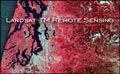
Landsat-TM Remote Sensing
PRISM Networking
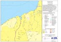
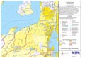
EPA Map Data Layers
The PRISM Models -- Artistic
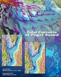
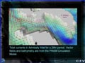
Tidal Currents of Puget Sound
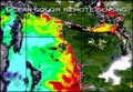
Ocean Color Remote Sensing
EPA Map Data Layers #1
Admiralty Inlet Circulation Image
Snow Water Equivalent Animation Still 2
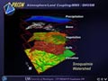
Atmosphere/Land Coupling:MM5/DHSVM
1979 Rocks
1979 Miscellaneous
1979 Crab 2