Home | Mission | Search | News
Site Navigation
Puget Sound Population Comparison
Puget Sound Main Basin Fly-By
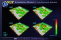
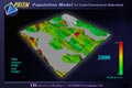
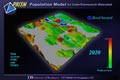
Puget Sound Population 2000
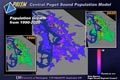
Puget Sound Population Increase 1990-2020
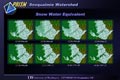
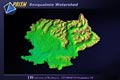
Snoqualmie Watershed Snow Water Equivalent 2
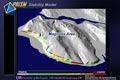
Stability Model 2 - Magnolia
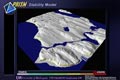
Stability Model
Puget Sound Flood Hazard 2020
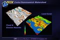
Cedar/Sammamish Watershed - Hazards/Land Cover
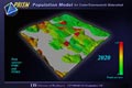
Puget Sound Population 2020
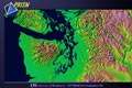
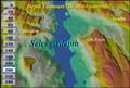
Puget Sound Regional Topography
Elliott Bay Topography
Puget Sound Digital Elevation Model
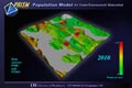
Puget Sound Population 2010
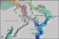
Plan View of Puget Sound Circulation
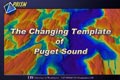
The Changing Template of Puget Sound
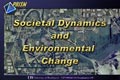
Societal Dynamics and Environmental Change
Living Resources Header
Snoqualmie Watershed Topography
Elliott Bay Bell Street Pier
Puget Sound Depth Contours
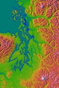
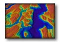
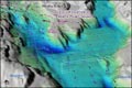
Chroma Depth image of Puget Sound
3D Circulation of North Puget Sound
Puget Sound Depth Countours