Home | Mission | Search | News
Site Navigation
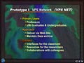
PRISM Prototype 1
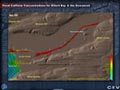
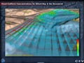
Fecal Coliform Concentrations Animation Still 2
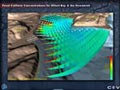
Fecal Coliform Concentrations Animation Still 4
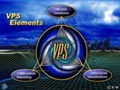
VPS Elements
Remote Sensing Title
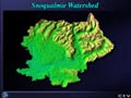
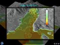
Snoqualmie DEM
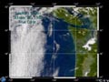
SeaWiFS True Color Image
DEM of Magnolia
Slope Stability Model of Magnolia
Fecal Coliform Concentrations Animation Still 1
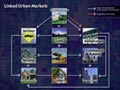
Linked Urban Markets
Fecal Coliform Concentrations Animation Still 3
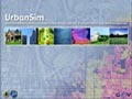
UrbanSim Title Screen
Fecal Coliform Concentrations Title Screen
Software Architecture for Spatial Simulation
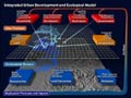
Integrated Urban Development & Ecological Model
Topography Title Screen
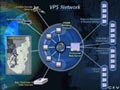
VPS Networks
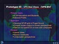
PRISM Prototype 3
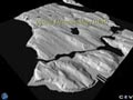
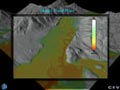
Skagit Flood Plain w/ Contour Lines
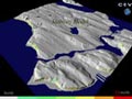
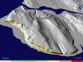
Skagit Flood Plain
Skagit Flood Plain Grayscale
Slope Stability Model of Magnolia View 2
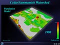
Population 1990