Home | Mission | Search | News
Site Navigation
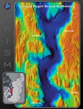
ChromaDepth view of the Puget Sound basin
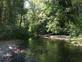
Creek Panorama 3 9/18/00
Creek Panorama 5
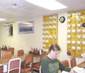
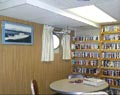
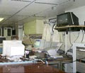
Mess Hall
Fan Tail
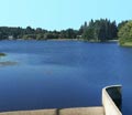
Dam Panorama
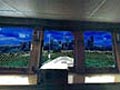
Virtual Bridge
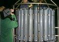
Core 1
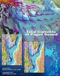
Tidal Currents of Puget Sound
Lounge
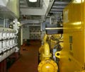
Engine Room 2
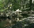
Creek Panorama 6
Clean Lab
150 Meter DEM B and W
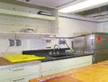
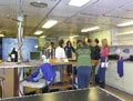
Main Lab
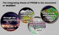
PRISM Water Integration
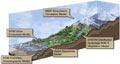
The PRISM Models -- Artistic
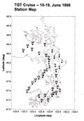
TGT Cruise Station Map
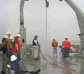
Rosette
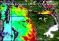
Ocean Color Remote Sensing
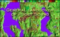
General Landcover of Puget Sound
Tide Flats Panorama
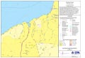
EPA Map Data Layers
Electronics Lab